interkriti®
YOUR GATEWAY TO CRETE
|
Crete
List Grid Map
Found
45
- Showing :
41 - 45
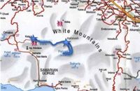
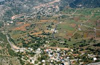
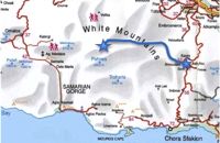
 by Richard Ellis at 26.6km (S) 31th August - Katsiveli to Kallerghi via Pachnes- The day dawned with a cloudless blue sky. I was lucky. The route starts with a gentle two km warm up across the Niato plateau before turning more vicious. The next phase is a very steep 700 meter climb up the north east ridge of Kastro. One of the pluses is that you are doing this in the relative cool of the morning - one of the minuses is that you will probably be carrying something like five litres of water. Distance Total (with Pachnes climb): 25.3 km Time: 9 hrs. 30 mins. Mov av 3.3 km/hr Height overnight: 1,518m.(Kalergi) Max. height: 2,453m.(Pachnes) To Pachnes and back:12.1km, time 4hrs 10mins.  Sfakia, White Mountains at 27.8km (S) It is located at an altitude of 750 m, 50 km SE from the city of Hania and 20 km from the village of Vryses. Its population is approximately 500 people. The small villages that constitute the community of Askifou are Kares, Ammoudari, Goni and Petres. The most touristic organised of them is Ammoudari with restaurants, gas station, and some rooms for rent.
E4 Trail: 16. Trail: A rest day in Askyfou by Richard Ellis at 27.8km (S) 29th August - Nicholas Crane, at the beginning of his huge walk across the watershed of Europe, writes that Julius Caesar and his Roman Army probably had it right when they walked for three days and rested for one. He ignored the advice (to his regret) and so did I in Part One, but now I had learnt my lesson. So for my rest day, I went for a little 7 km walk around the Askyfou plateau (without a pack) and found my way up to the Turkish fort which dominates the skyline there.
 by Richard Ellis at 27.8km (S) 30th August - The day dawned with a cloudless blue sky. I was lucky. The route starts with a gentle two km warm up across the Niato plateau before turning more vicious. The next phase is a very steep 700 meter climb up the north east ridge of Kastro. One of the pluses is that you are doing this in the relative cool of the morning - one of the minuses is that you will probably be carrying something like five litres of water. Distance: 17.0 km Time: 10 hrs. 5mins. Mov av 2.5 km/hr Height overnight: 1,913m. Max. height: 2,060m.  Rethymnon North at 29.3km (SE) Episkopi is a small town of the prefecture and county of Rethymno. It is located at the old national road of Rethymno - Hania, 17 km away from the city of Rethymno. The town is built at 120 m a.s.l. overlooking the northern coast of Crete, and the green and fertile valley of Mousselas river.
|
||
|
| ||
C
O
N
T
E
N
T
S
O
N
T
E
N
T
S


